Menu


Easily accessible roads and trails adjacent to downtown include strolls down the West and East Bluffs, Huron Road and Arch Rock Road. Various loops off these routes will take you to numerous other sights and monuments.
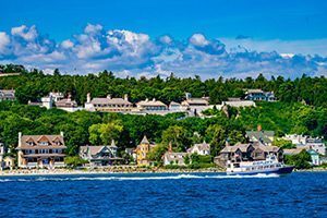
Lake Shore Boulevard, State Highway M-185, wraps 8.2 miles around the entire island. It is fairly level, with only a few hills. A runner can make it in 45 minutes, but walking can take 1.5 to 3 hours including stops to take in the many sights.
Interior routes on the island will always involve some hill climbing. But once you go up, you always come down! Garrison and British Landing Road cut down the center of the island from Fort Mackinac to British Landing.
Fort Holmes Road will take you to the very top of the turtle’s back.
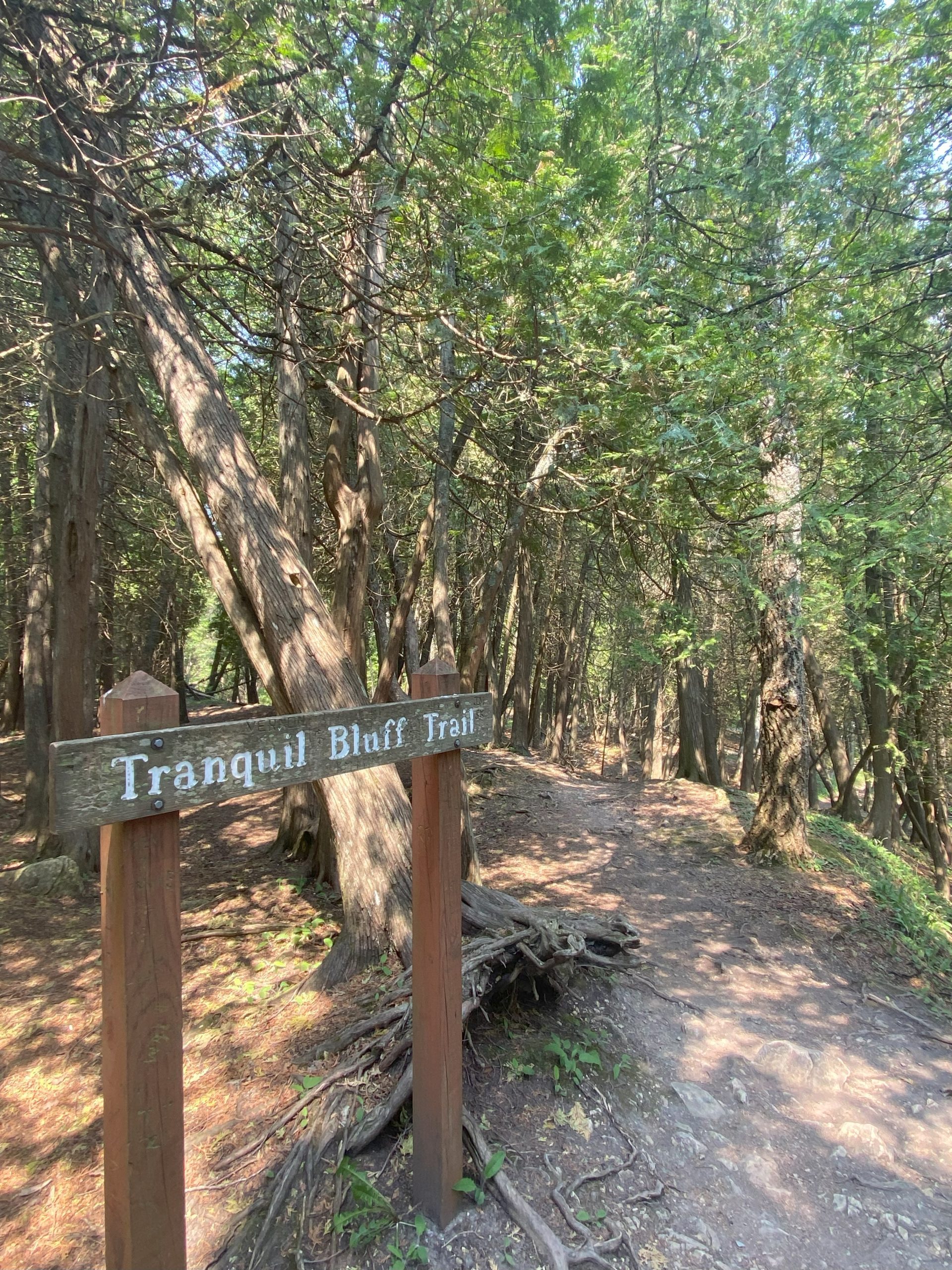
Popular hiking and biking trails include Tranquil Bluff Trail, Pontiac’s Trail, Leslie Avenue, North Bicycle Trail, Allouez Trail, Crack-in-the-Island Trail. In total, there are more than 70 miles of roads and trails on Mackinac Island.
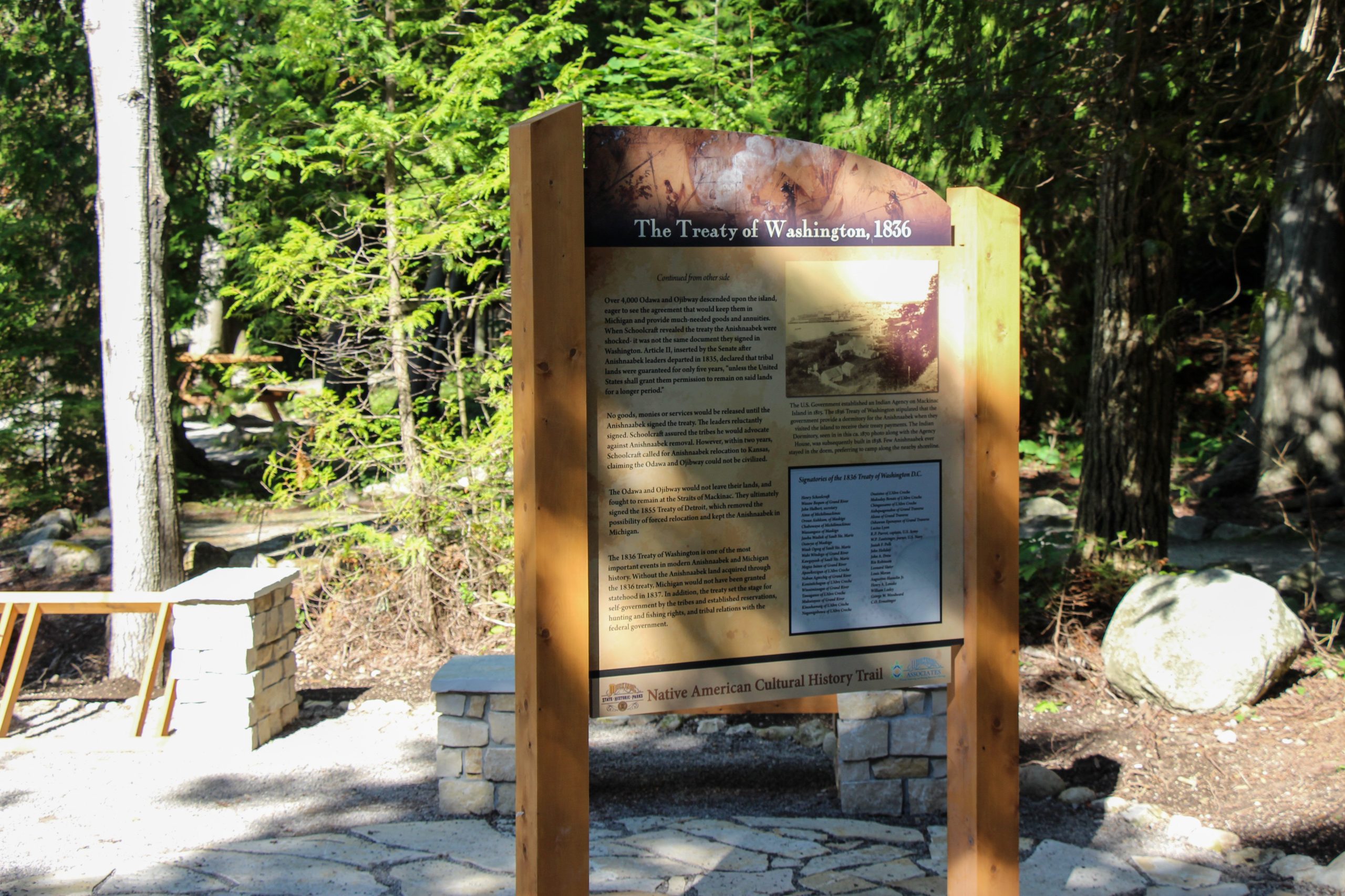
Interpretive panels provide information at most of the island’s historic and natural monuments. In addition there are five interpreted nature trail loops:
The Historic Mackinac Island Visitor’s Guide, available at the Mackinac Island State Park Visitor’s Center, Fort Mackinac, and both ferry lines, provides seven themed tours that cover the entire state park. It sells for just $2.