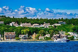


For us, there’s nothing much better than an early morning or evening hike, especially when those hikes take you through the North Woods and feature views overlooking the sparkling waters of the Straits of Mackinac. Welcome to Mackinac Island State Park. Many tourists, travelers and people from all walks of life journey to this timeless island for the food, fudge and historical sites. However, the incredible trail system within and around the island are not to be missed. More than 80% of Mackinac Island is parkland – containing more than 70 miles of incredible hiking and biking trails to explore. Whether you’re an avid outdoor enthusiast, or a novice looking for a pretty view, there is something for you within the park. We’ve compiled a list of five favorites – some very popular, some lesser known. Read on for some inside information to make your visit to Mackinac Island all the more enjoyable!
The trail you can’t miss:
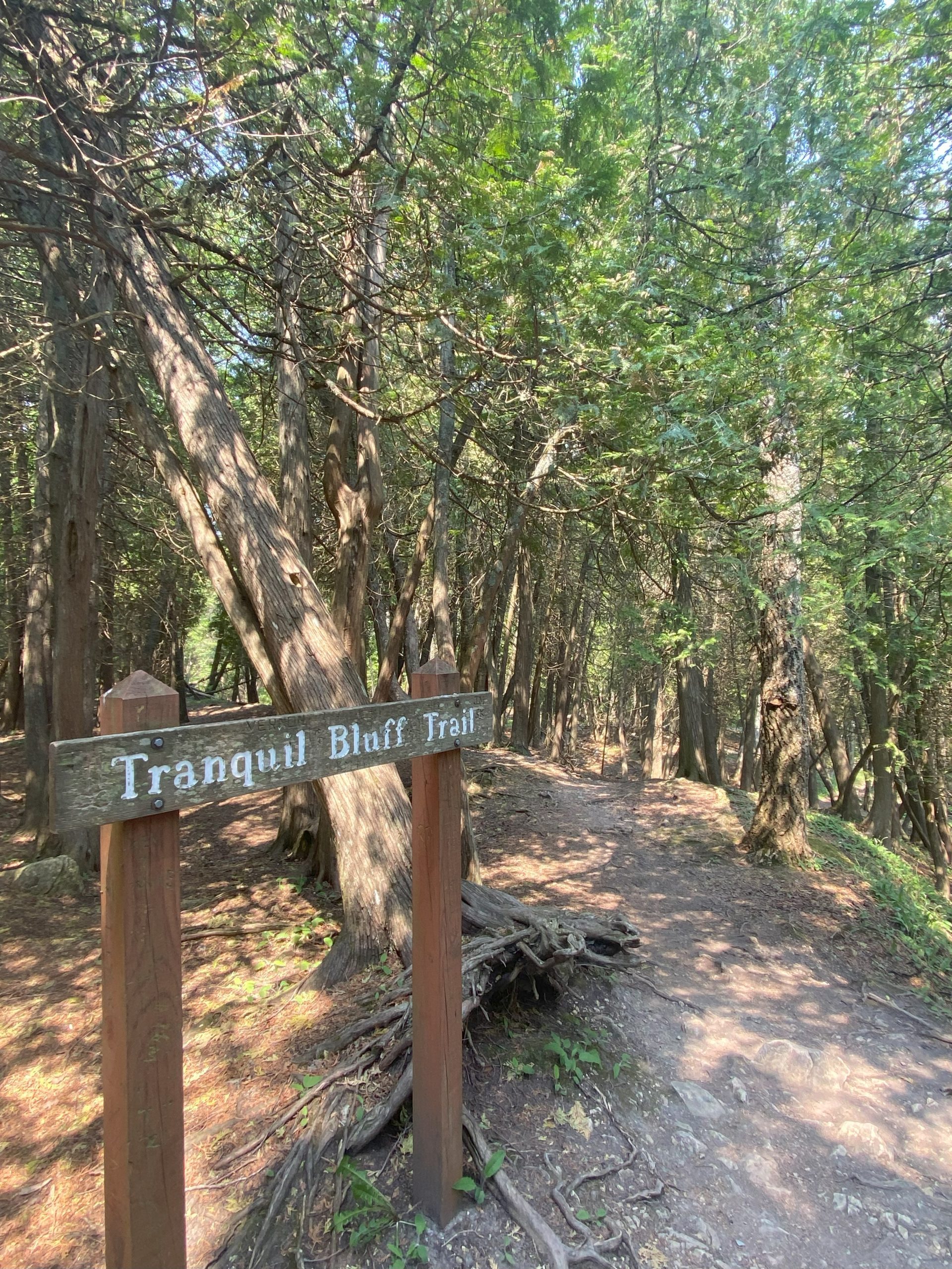
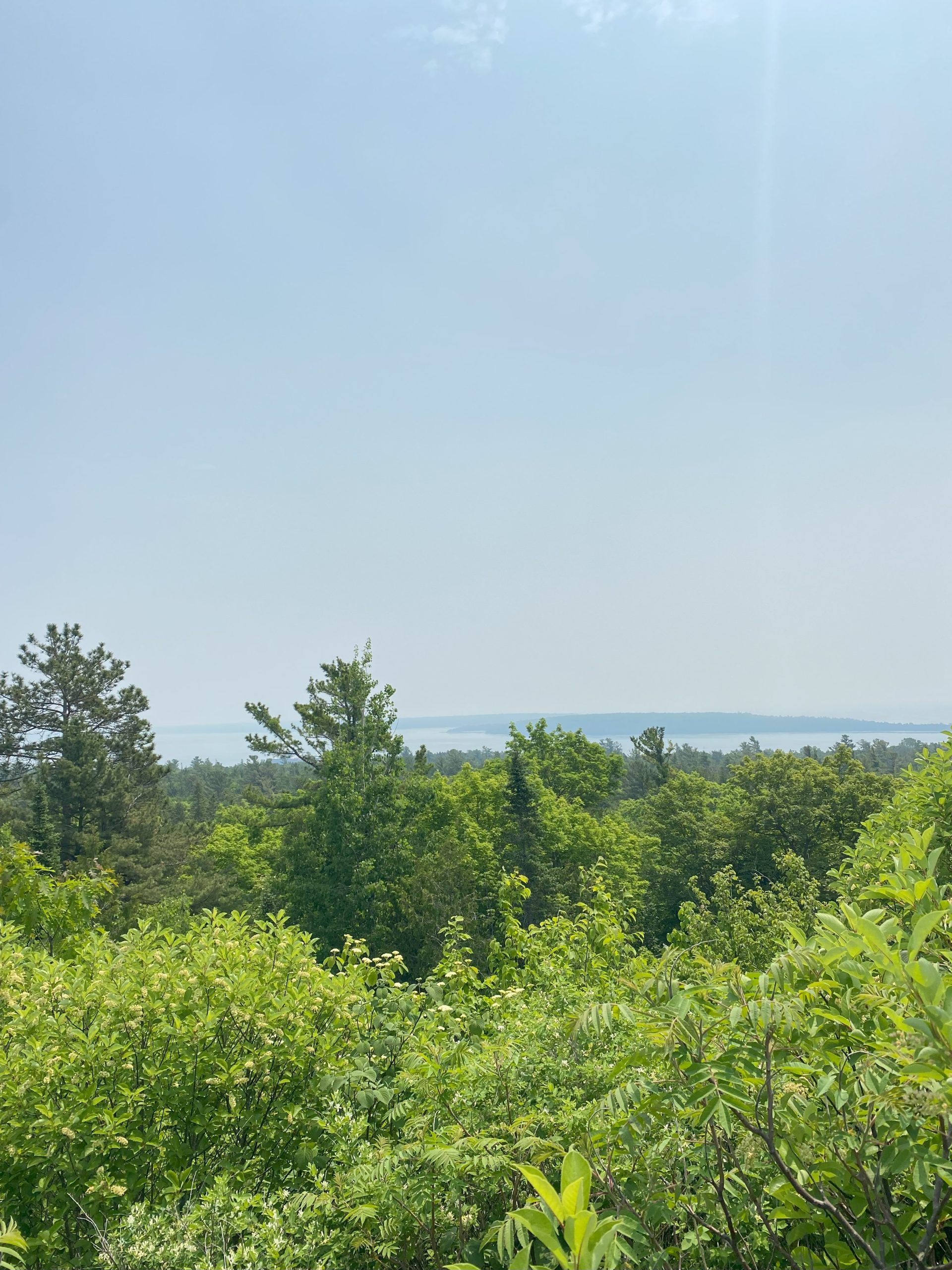
Tranquil Bluff (~1 hour and 30 minutes)
DIFFICULTY LEVEL: Moderate
Tranquil Bluff Trail most certainly lives up to the name. This winding tree covered pathway borders the eastern edge of the island. It’s serene with spectacular views of Lake Huron on your right and a lush forest on your left. Tranquil Bluff is a truly unforgettable experience. We recommend going on the trail in the early hours of the morning, right as the forest wakes up. Listen closely and you’ll hear the singing of chickadees, warblers and the occasional wail of a loon from the lake. For this hike bug spray is recommended, and hiking shoes are a major plus as there are several steeper slopes to traverse.
For a good workout:
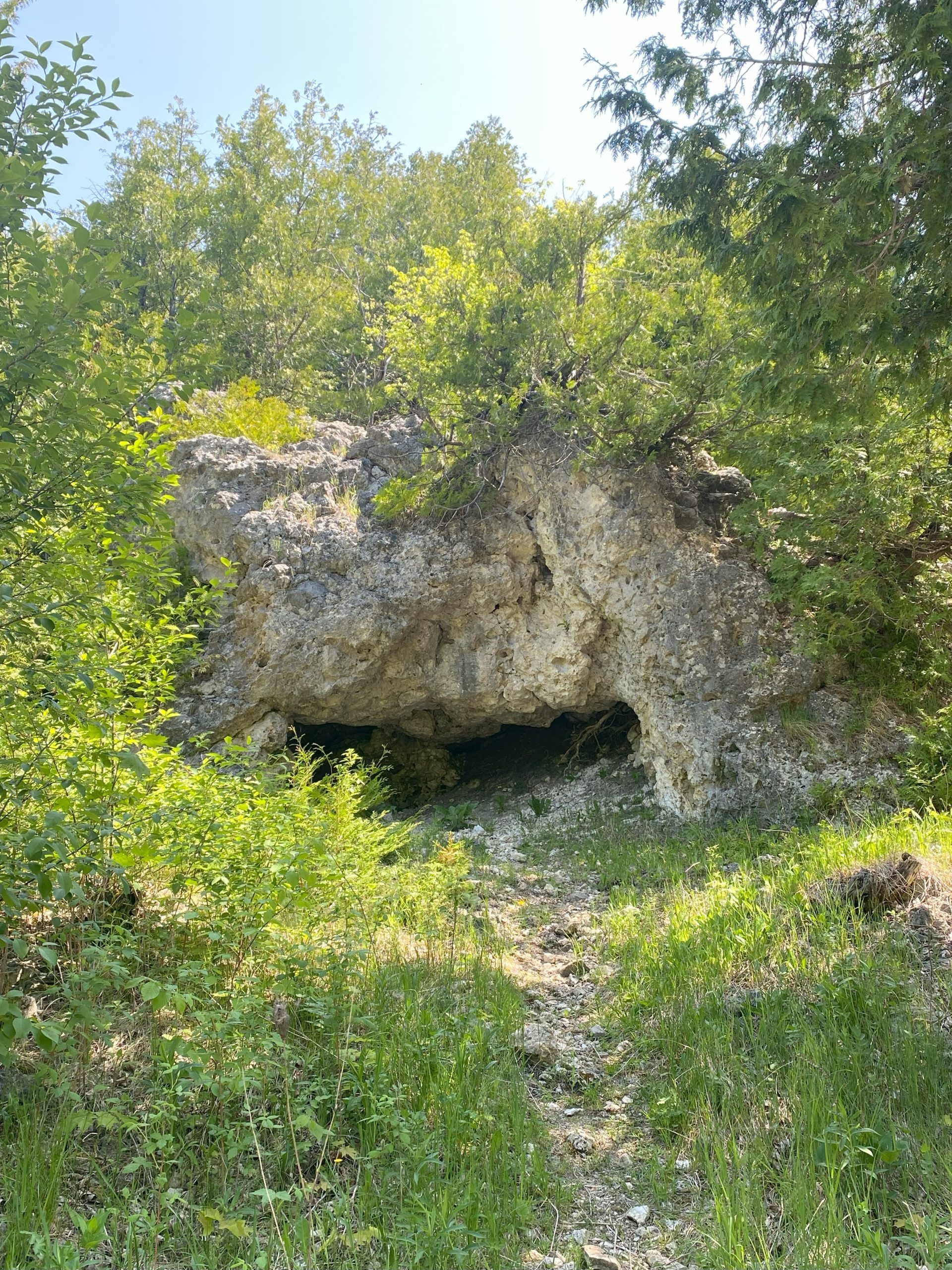
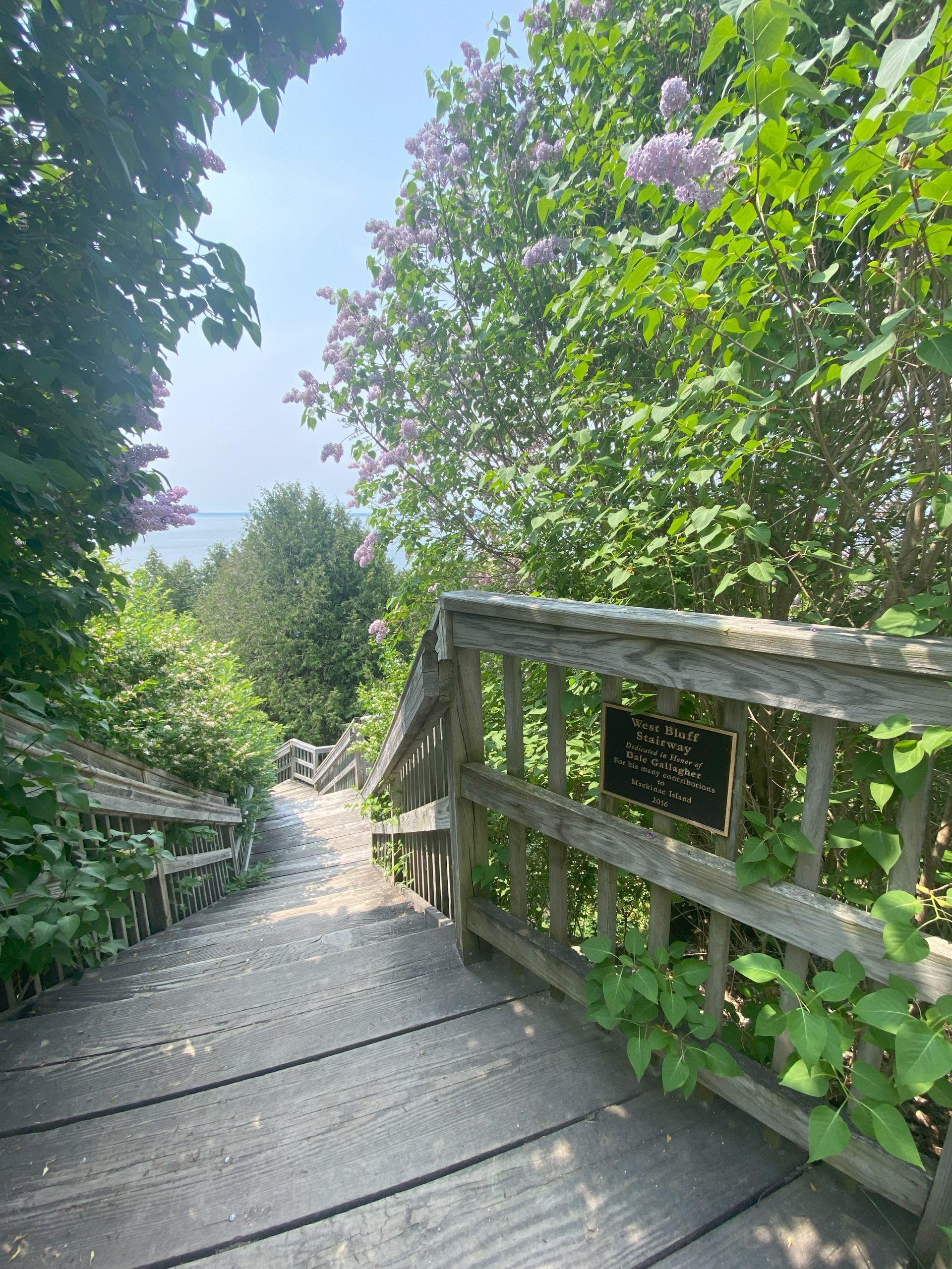
Fort Holmes Loop (~30 minutes)
DIFFICULTY LEVEL: Hard
From Fort Mackinac continue onto Garrison Road until you reach Skull Cave. Then make a right and follow signs for Fort Holmes/Point Lookout. You will soon approach a wooden staircase on your left. This is where the workout begins! After climbing several flights of steps catch your breath while enjoying one of the most beautiful views on the island. Fort Holmes is perched atop a hilltop providing a 360-degree view of the surrounding topography (including Round Island and Bois Blanc Island). Hawks and turkey vultures fly close by so make sure to keep an eye out for them! Also take some time to explore Fort Holmes. No ticket is required for entry! After your visit at the fort continue onto Fort Holmes Road until you reach the cemetery. Then make a left and continue back down to the Fort Mackinac!
Best views of Mackinac Bridge:
Pontiac Trail (~15 minutes)
DIFFICULTY LEVEL: Easy
Pontiac Trail may be short, but it has the longest panoramic view of Mackinac Bridge. The trail offers a spectacular array of picture-perfect shots. Every angle captures the sparkling water, flowered trees, and gleaming bridge in the distance. You can also spot ferries passing to and from the mainland! If you descend the staircase to the water’s edge, you’ll find one of Mackinac Islands prime sunset watching locations.
Most scenic hike:
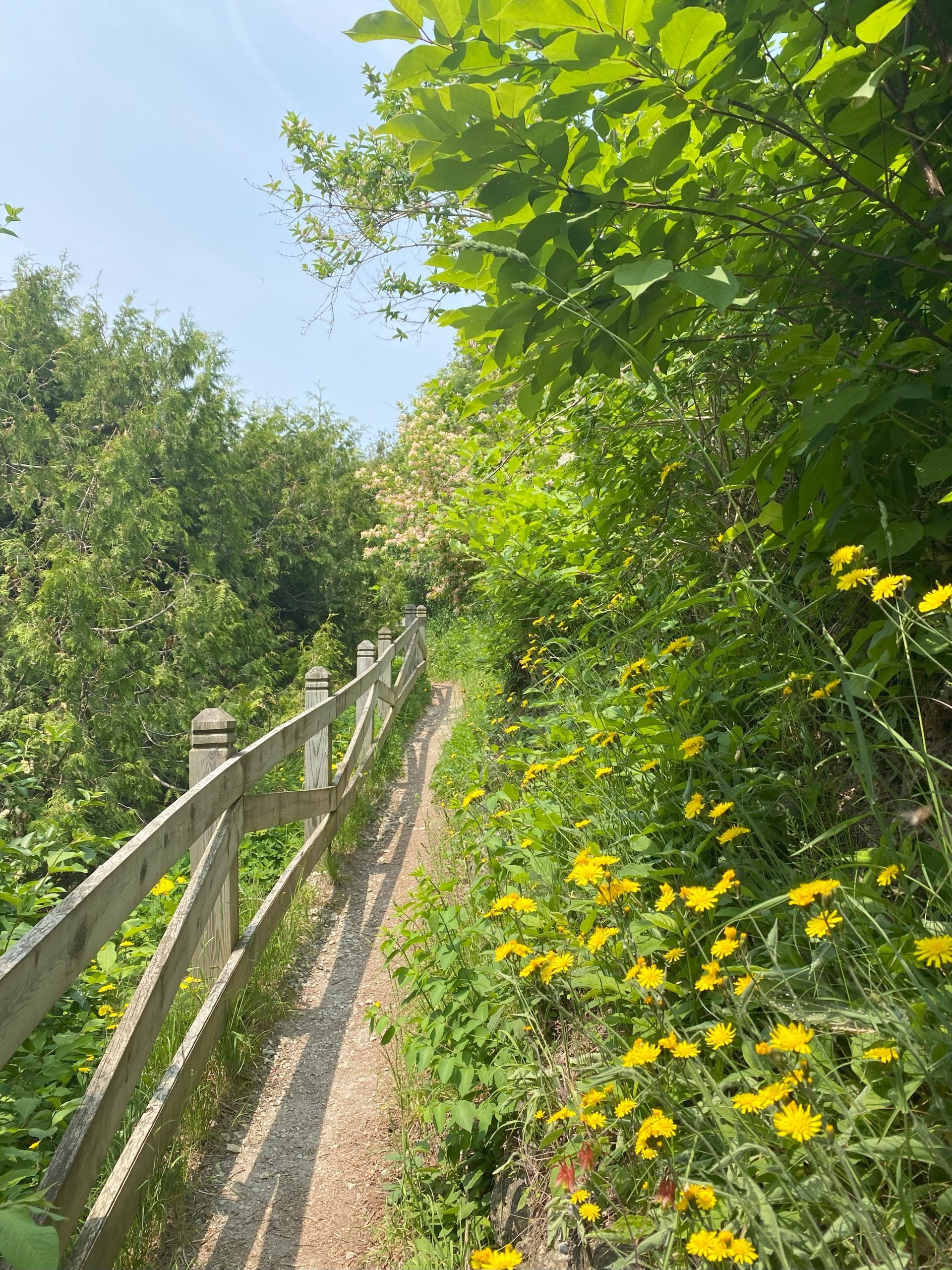
Leslie Avenue Loop (~1 hour)
DIFFICULTY LEVEL: Moderate
A local favorite that has a direct connection to Mackinac’s military history! Soldiers cut this trail in the 1870s and named it after Captain Leslie Smith. From Arch Rock look for the wooden sign that says Leslie Avenue and begin your journey. The trail is narrow but paved so no hiking shoes are needed. However, don’t let the paved trail fool you because along this path you are still very much surrounded by nature. Beautiful maple, pine and oak trees create a brilliantly green canopy overhead. White, purple and yellow wildflowers line the trail, and a symphony of birds will make you feel like you are the only one on the island! It’s a hike you cannot miss.
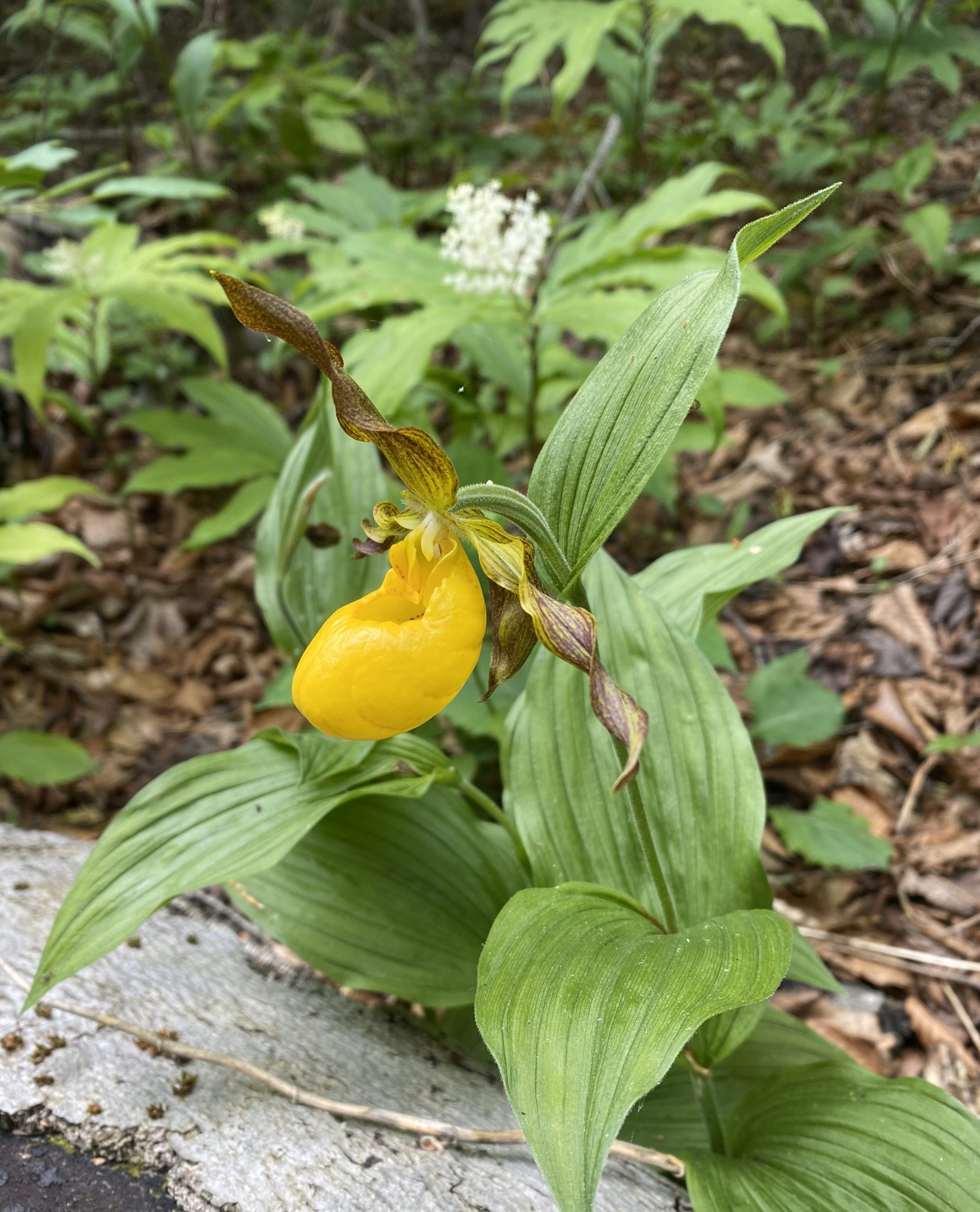
For the botanists/naturalists:
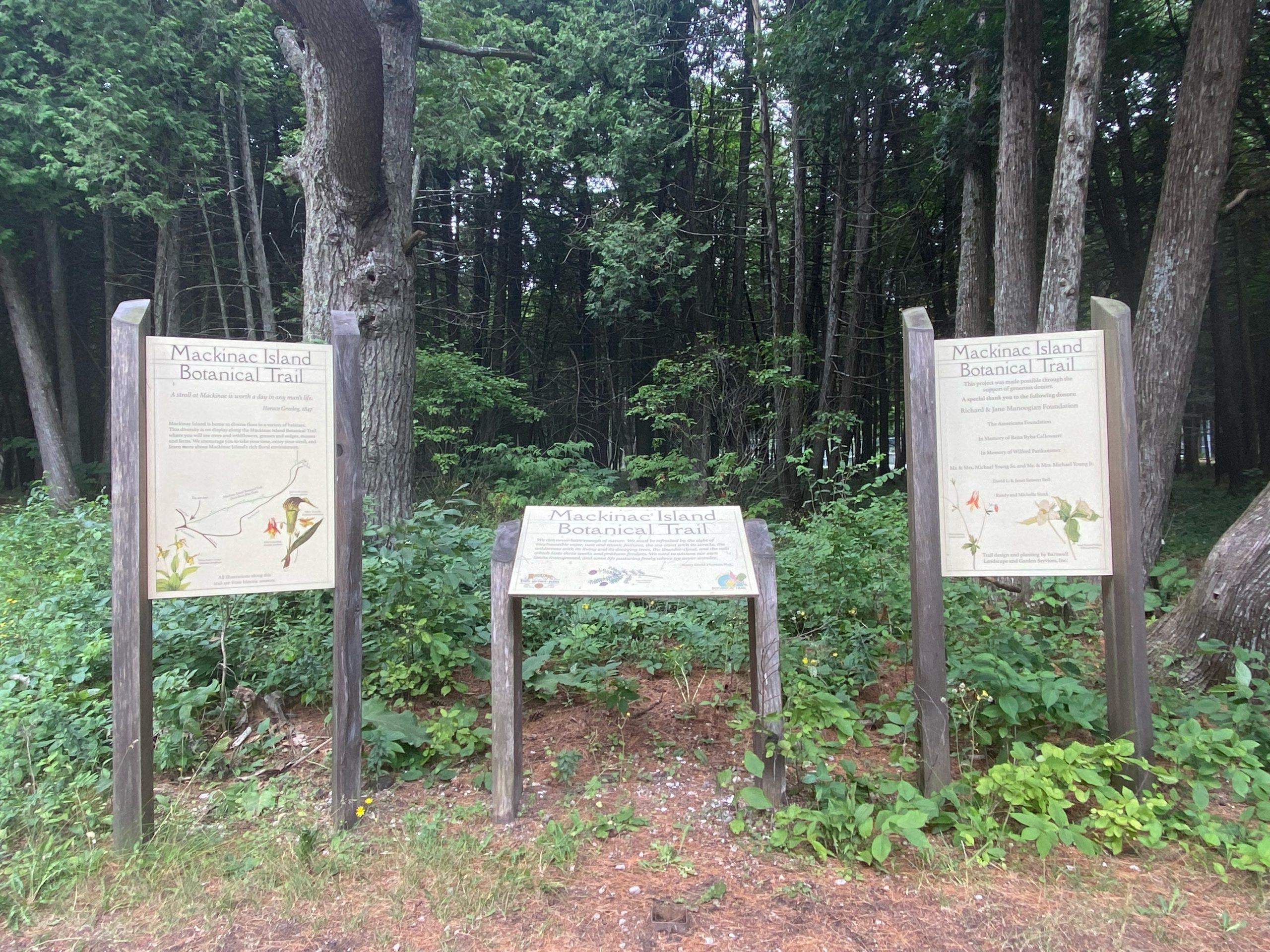
Mackinac Island Botanical Trail (~30 minutes) DIFFICULTY LEVEL: Easy
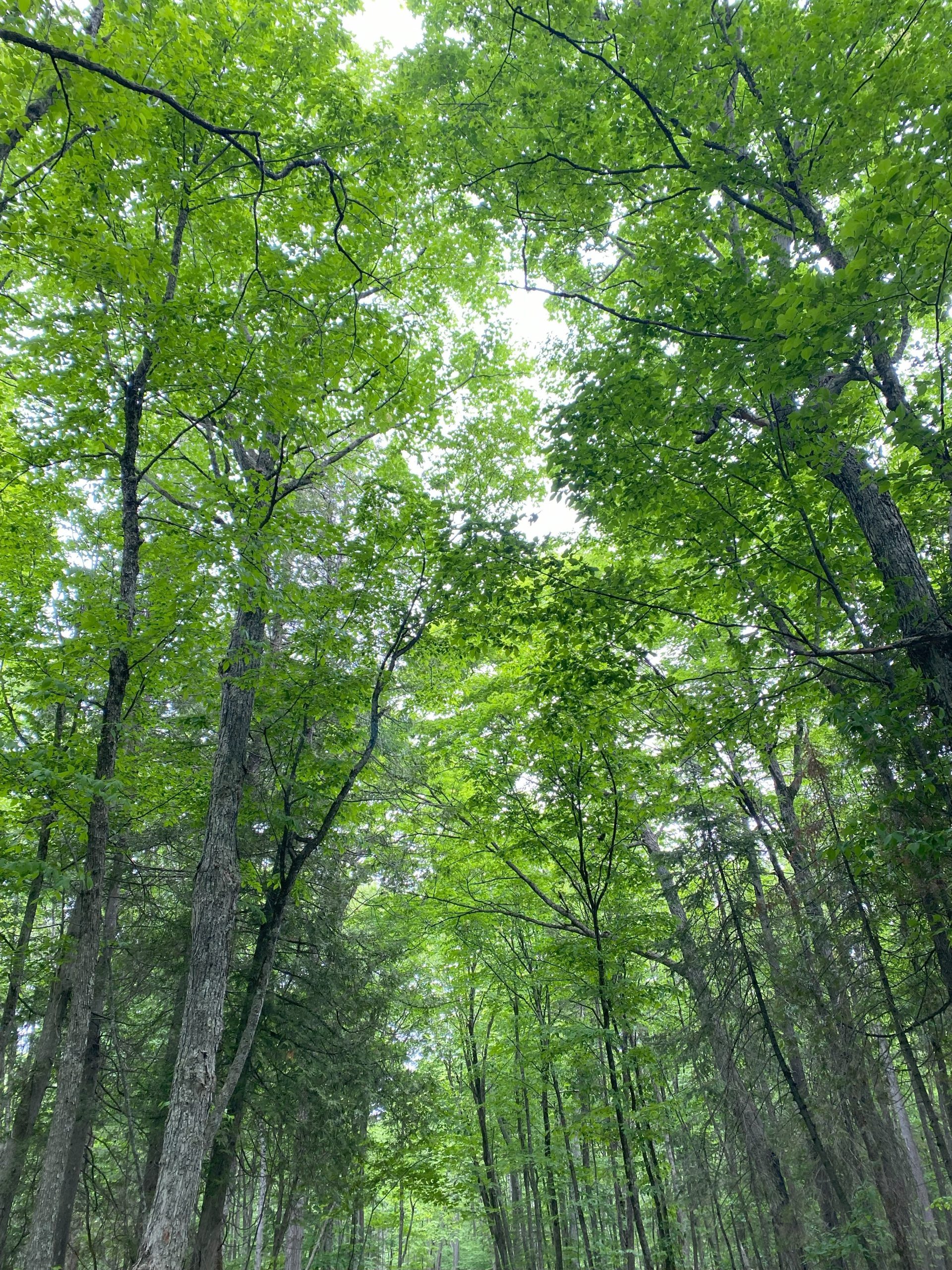
This hike will take you on a true learning journey! A massive sign reading Mackinac Island Botanical Trail is the start of the trail. As you traverse the path, signs placed throughout will give you insight into the common and scientific names of the trees that grow on the island. Meander along this trail and you’ll eventually reach Arch Rock. From here you have several potential hiking routes. Turning left will lead you onto Leslie Avenue, continuing straight will lead you down a flight of stairs to Lake Shore Boulevard and turning right onto Huron Road will take you to East Bluff. I recommend walking along East Bluff for the most picturesque views of the lake and Round Island’s Lighthouse. From East Bluff you can take a sharp left turn back down to Main Street. You can also continue onto East Bluff until you reach Fort Mackinac.
These are just a few hikes to be found on Mackinac Island. We hope you enjoy them, but always encourage you to find your own favorites – there is no wrong turn! Happy Trails!